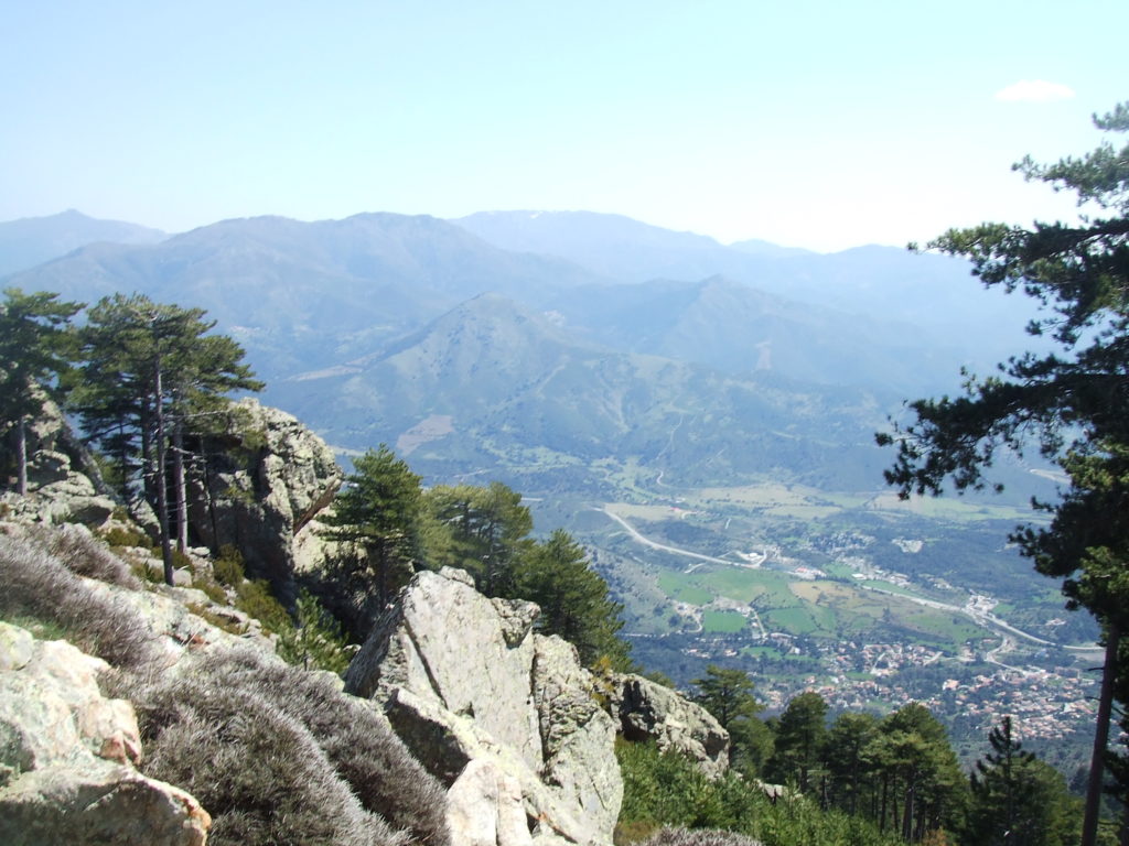
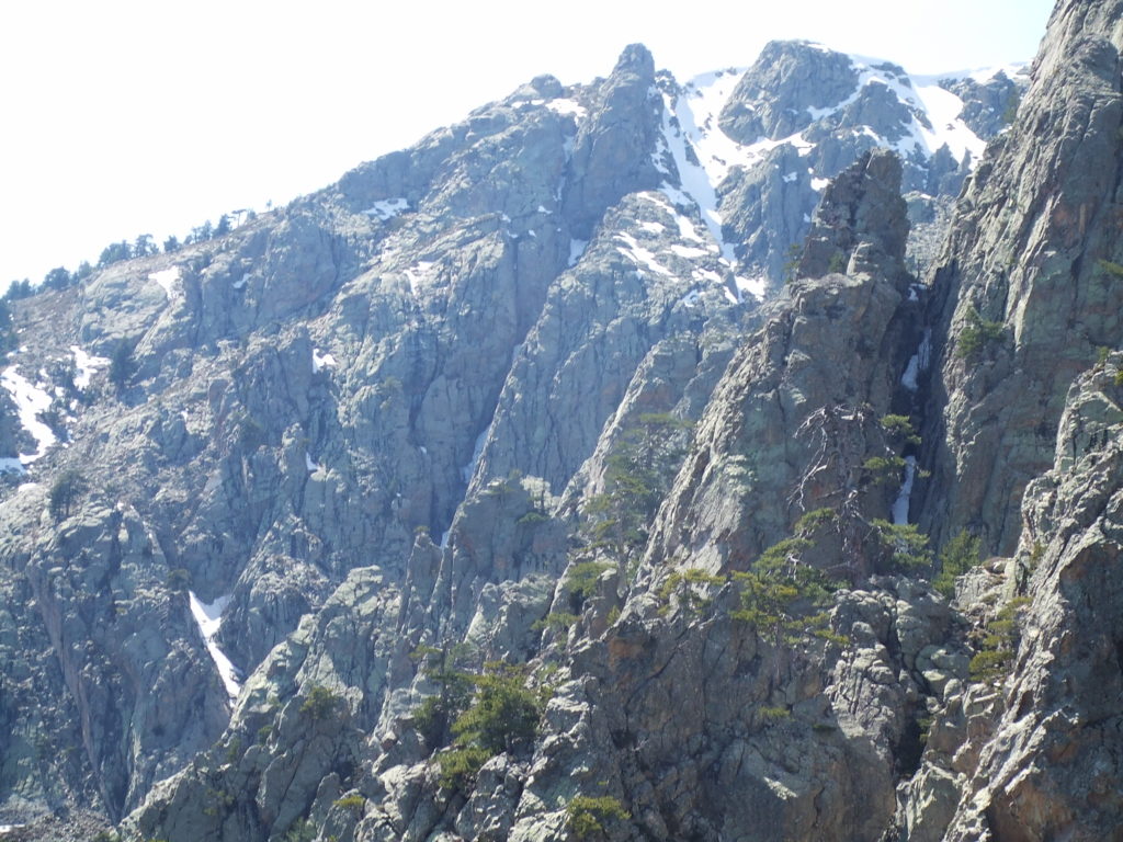
Continuing a series of blog posts written for the hikingcorte blog way back in 2010. Some of this information may be outdated!
As described in the last post, there are a whole bunch of good hikes you can do from your base at Corte. Combine this with Corte being the most well connected town in the region in terms of transport and the local hotels and facilities (as well as the fact that Corte is a proper town, interesting in its own right, unlike – for example – Vizzavona) makes it an excellent base for exploring the area.
I had two days before my big hike west over the Corsican watershead, one of which would be spent walking the Restonica valley and seeing lakes Melo and Capitello.
One my first day, however, I decided to break myself in with an “easy” walk. Based on some upside-down logic which escapes me now, for some reason I decided that a hike up to a local landmark, the Arch of Corte (or Arcu di u Scandulaghiu as you’ll sometimes see it). I also decided to do the walk with a full pack to test whether I was up to lugging all my stuff dozens of kilometers over the mountains. For some strange reason I failed to grasp that a vertical kilometer of ascent can hardly be described as an “easy start”.

On the other hand, the actual distances involved are surprisingly small, as the approximate map above shows. I knew from my research and maps that the trail to the arch should be well parked, was apparently signposted with arch symbols, and would climb the ridge above the left bank of the Tavignano before winding up to the North West through mountainous forest.
I got up reasonably early, grabbed some supplies at the small grocery on the main street and some breakfast at the cafe de France near the hotel, and by 9am had climbed out of the town and around the citadel.
I had hardly got going when I received in rapid succession two strict lessons in Corsican route finding. The map indicated that trail to the Arch and the Mare a Mare Nord leave Corte together. I had found the start of these the previous night, as well as a signboard indicating that both Sega and the Arch lay down this path. The path was initially good quality, often wide enough for two people to walk abreast, and very clear. The map indicated that the path to the arch should diverge from the Nord after a hundred metres, and I thought I spotted a path bearing off to the left, so I bore right and kept walking.
My spirits high, my mind started to wander as I strolled through the bright morning air, and I began to walk automatically, as is easy to do when the path to take is very clear. After about ten minutes of this, I realised the trail was becoming less and less defined, and I was now walking over angled rock without any clear markers or piles of stones to guide the way. I hadn’t in fact seen an orange paint flash (which is the marker of both the Nord and the trail to the Arch) for about ten minutes.
I stumbled on a bit further, now having to use my hands to steady myself against the steep and gravelly rock surface – and caught a glimpse of the much clearer, marked path, maybe 30m below. There followed a good five minutes of undignified scrambling as I attempted to work my way down the slope to rejoin the marked trail. The moral of the story (part i): if you are following a marked path, flashes (or piles of stones) will have been placed at least every minute, and at every turning that could be ambiguous. If you find you have walked for more than a few minutes without seeing a flash, you’re almost certainly off the path.
The moral of the story (part i): If you find you have walked for more than a few minutes without seeing a flash, you’re almost certainly off the path.
This had to happen to me three or four times before I finally learnt to just stop and retrace my steps. Stopping walking when you’re in a rhythm is frustrating, but not nearly as frustrating as finding out that you just climbed right over a ridge for no reason at all. Walking for any length of time when you’re off the path can get you very lost indeed, and is best avoided.
Once I had returned to the proper track, I resumed walking now slightly more circumspectly. Now I had no problem with the flashes, and strode on for a further ten minutes. All the time I had been contouring around the river, slowly gaining height on a pretty but not very challenging path. I was slightly concerned that I wasn’t climbing much, and that I was still following the river – but I could see another track right down by the river bank which I assumed was the diverged Nord path. It was only when I stopped, got out my compass and took a bearing on a little stone hut (bergerie) that I became certain I had fooled myself. I was enjoying the easy pace and scenery so much I wasn’t paying attention to the how all the details of the path did not match what was on the map: I should have been up on the ridge to my right, and was instead on the path to Sega. The moral of the story (part ii): if you feel like you’re going in the wrong direction because the terrain doesn’t match the map, you probably are. The IGN maps are extremely accurate, and even tiny details (like the stone hut) are precise. The major trails like the Nord are especially well marked and will not just branch off without warning.
The moral of the story (part ii): if you feel like you’re going in the wrong direction because the terrain doesn’t match the map, you probably are.
I walked rapidly back down the easy path, feeling rather foolish, but realizing I had lost less than an hour and there was still plenty of time to get to the arch.
The real turn off to the arch occurs just after you pass the Corte signboard, before you get to a small farm with wooden cages holding goats and geese. The path quickly doubles back (as shown on the map), loops round the back of the farm, after which you can see it clearly rise up the ridge. The trail is marked with orange flashes very similar to those you’ll see on the Nord, but is not clearly indicated with arch symbols, as reported. I had seen one or two other people strolling along this section of the Nord, and one couple were walking ahead of me up the ridge. It was starting to get hot, and we climbed the ridge in direct sunlight, both of us pausing regularly to catch our breath. About half way up…
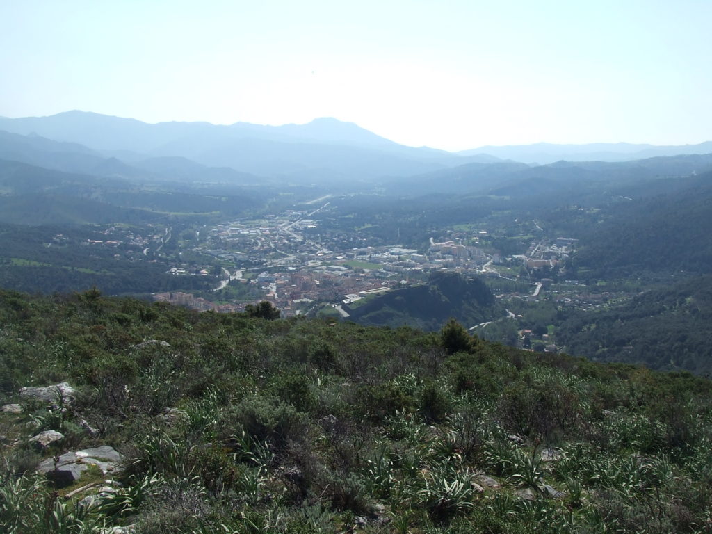
…I started to feel I may have overeached in deciding to carry my whole pack with me. The entire ascent to the Arch is over 1000m, and you gain height fastest during this beginning section, making the gradient steep and unrelenting. I frequently had to stop to get me breath back, and I was reminded of when I walked up to the top of Siroke Sedlo in Slovakia’s Tatra mountains: also a 1000m ascent, and also my first walk of the holiday. There I almost had to turn back due to lack of breath and spinning head, and I was getting close to that state here. I seemed to be travelling much slower than the couple of in front of me, and by that benchmark I was wondering whether my fitness was up to this kind of walk.
I pressed on, and even though there was no let up in the heat or the gradient, things seemed to get gradually easier. I’ve noticed this phenomenon on several occasions on tiring hikes: while I’m initially preoccupied with how tired your legs and lungs are getting, after twenty minutes or so I find my mind has drifted and I’m thinking hard about something completely unrelated (song lyrics always have a habit of worming their way into my consciousness in these situations). I always imagine that the diminishing oxygen to my brain prevents me from thinking clearly (and painfully) about the state of my body, but I really don’t know if this is physiologically plausible. In such a distracted state I found I had to pause less and less, and before I knew it had overtaken the walkers ahead.
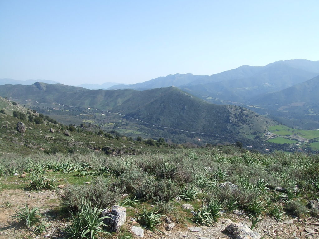
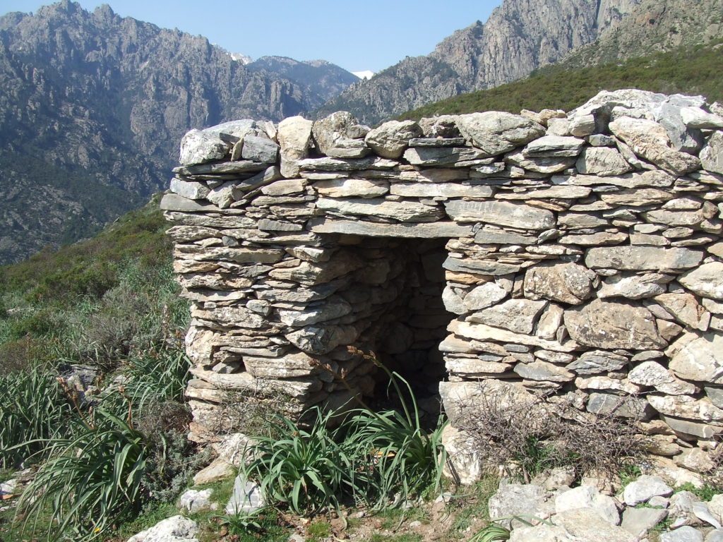
The going continued to be tough but I felt good and continued around the hillside to the North. The path contours around away from the the Tavignano, before attacking the gradient again and rising up through small patches of woods.
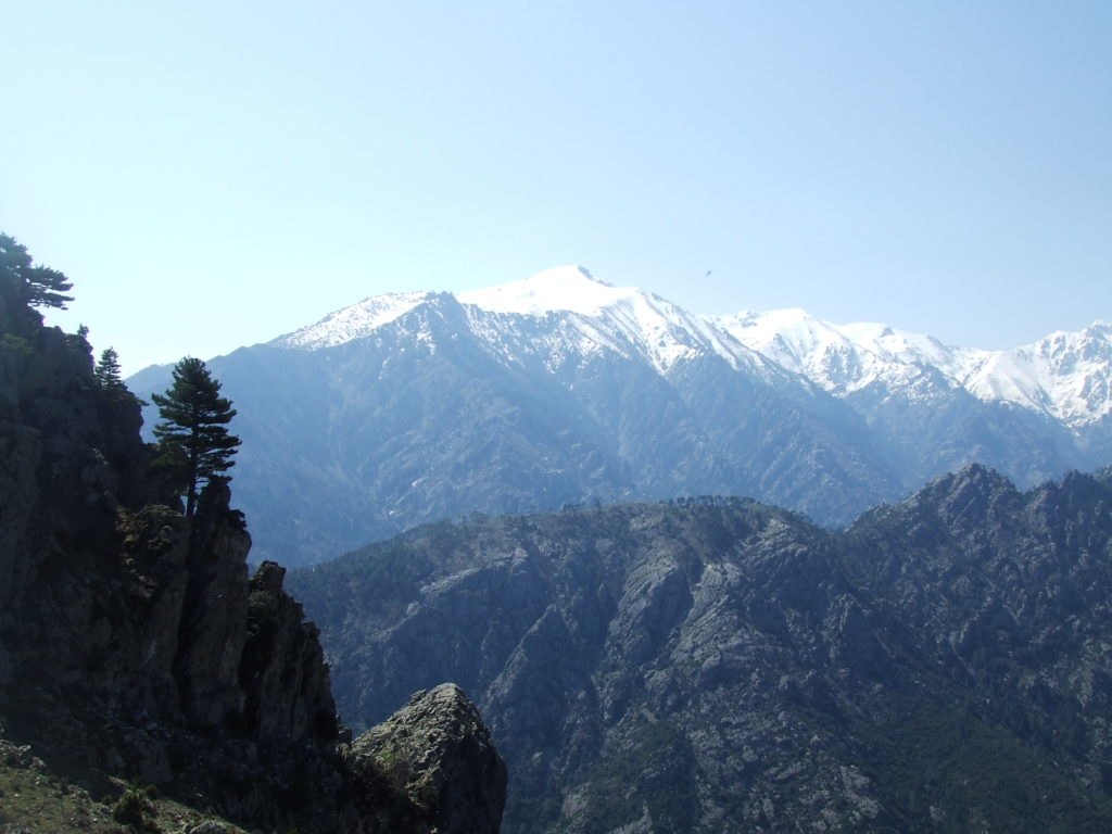
The view quickly becomes obscured in the trees, and the trail weaves and winds as it climbs up through the woodland clingling onto the side of the mountain. It’s dry and heavy going, but being out of the direct sunlight offers some relief. After about half an hour you cross another ridge…
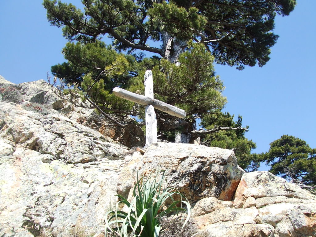
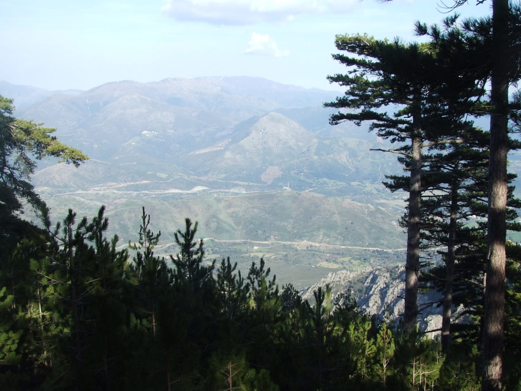
…before plunging back into the woodland. The only descriptions of the walk I had read noted that the trail was very dry, but in April the marked streams were flushed with meltwater and the path was crossed once or twice by small streams indicated as marginal on the map. After a good deal more climbing the forest thins out, and you are rewarded with breathtaking views back down into the valley and of the Cinto massive on the other side –
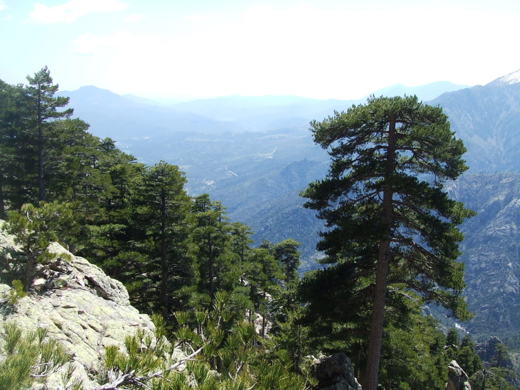
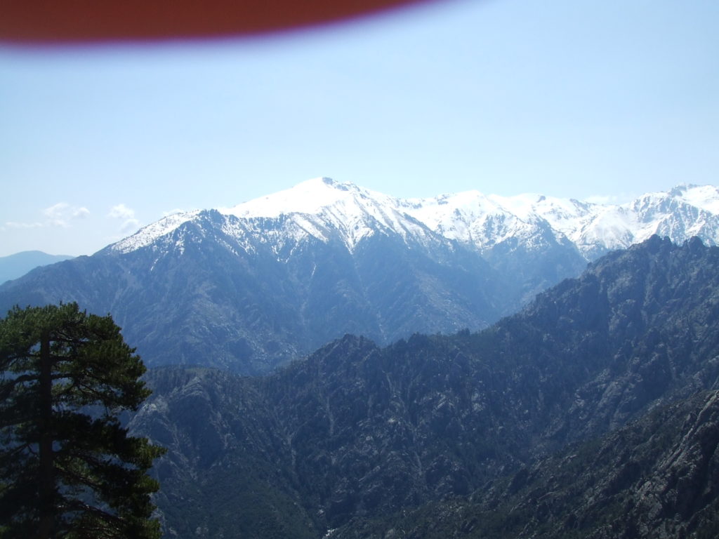
As the trees thin out and the trail contours West next to a rather steep gorge, the gradient decreases and the walking becomes easier. I had kept an eye out for “arch” symbols but had only seen one (at about the half way point between two patches of forest). I was so surprised to see another one it was only when I looked up that I realized I had almost stumbled directly into the arch itself…
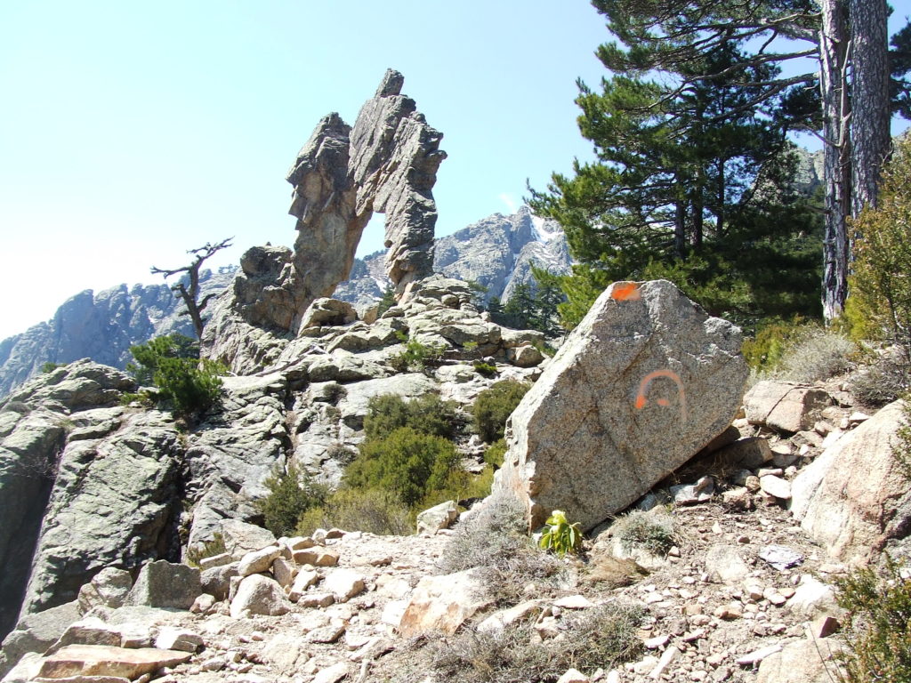
right in front of the arch itself (like you could miss it…)
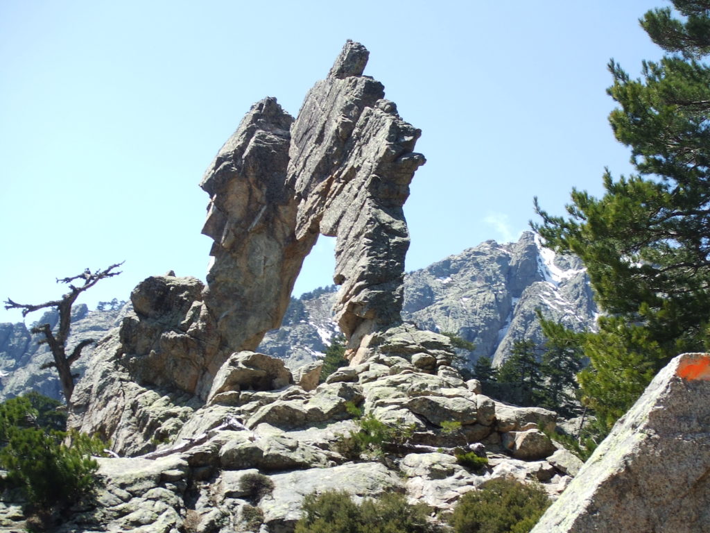
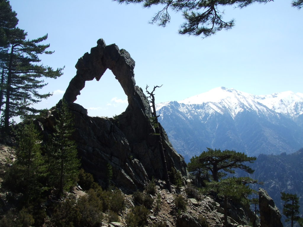
Often when making treks like this, the real enjoyment is in the walking and exploring rather than reaching an arbitrary destination, which can itself be anticlimactic. But I’m pleased to report that the arch of Corte is genuinely worth hiking up the thousand metres to see on its own account.
The position is spectacular, overlooking part of the gorge which falls 700m down to the level of the Tavignano river, and the arch itself is larger than I expected (look at the dead tree above for some idea of scale). Once you’re here it’s irresistible to climb inside the arch and gaze up at the continuous rock, which has presumably been left after some weathering process has removed its “scaffold” – but you have to take care, as the arch is narrow and projects out into the gorge – and looking up at the rock above you is pretty vertigo-inducing. It does make quite a good place to lie and stare out at the view though, and I had my lunch sitting wedged at its base.
What with my diversion, it took me somewhat longer than I expected to get to the arch, but by the time I had lunch it was still before 1pm so instead of returning directly back the way I came I elected to explore some distance up the path. I could see little rivulets of snow left in grooves in the rock not high above me, and I was intrigued about the Bergeries de Padule which were only around a kilometre further up the path and 180m ascent. The trail looked easy going, and soon passes the 1500m altitude – what I soon found to make a reliable indicator of the edge of the treeline (affording wonderful views below) and the start of the snowline.
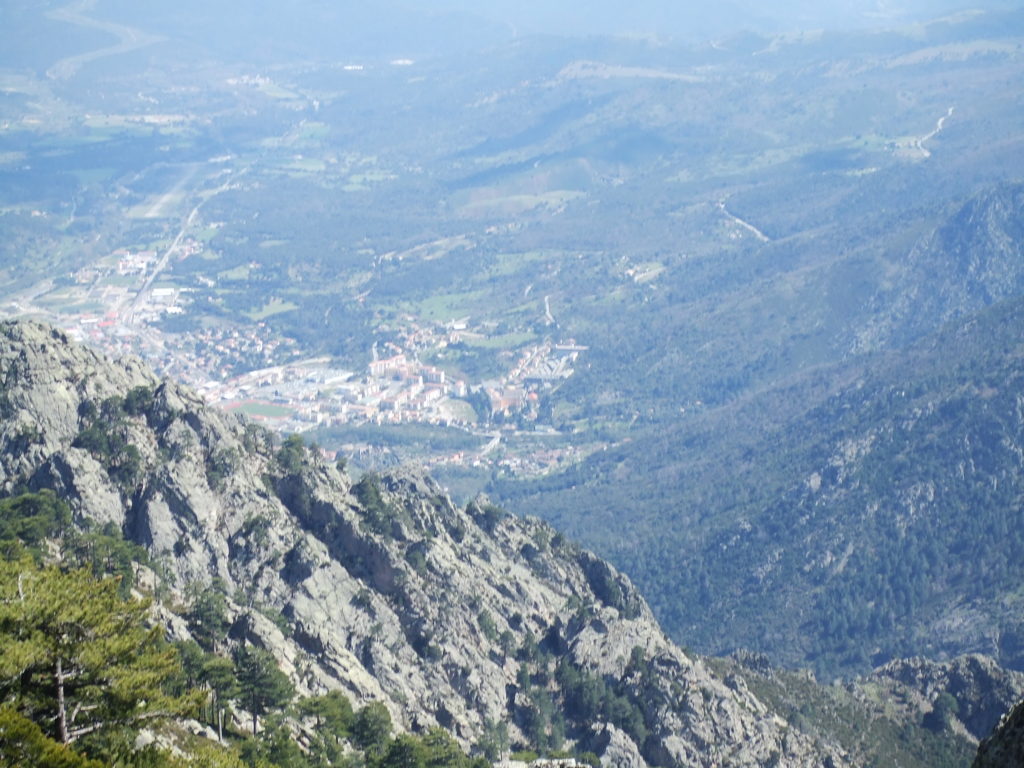
The path climbed briefly but steeply to cross the ridge. As I cleared the top, I was greeted with a sight that contrasted so vividly with the parched terrain of the climb up it was like stepping into another world. The gentle slope down to the bergeries was covered with deep, even snow, disturbed only where footprints indicated the position of the path. The snow seemed to radiate coolness and was wonderful to walk over after the hot ascent. I shuffled through the snow and soon reached the bergeries which are remarkably well built and extensive and flank (what was in April) a sizeable stream. A small track road leads to the West, leading according to the map to some more bergeries even deeper into the mountains. A signpost with timed distances to various destinations was also in evidence.
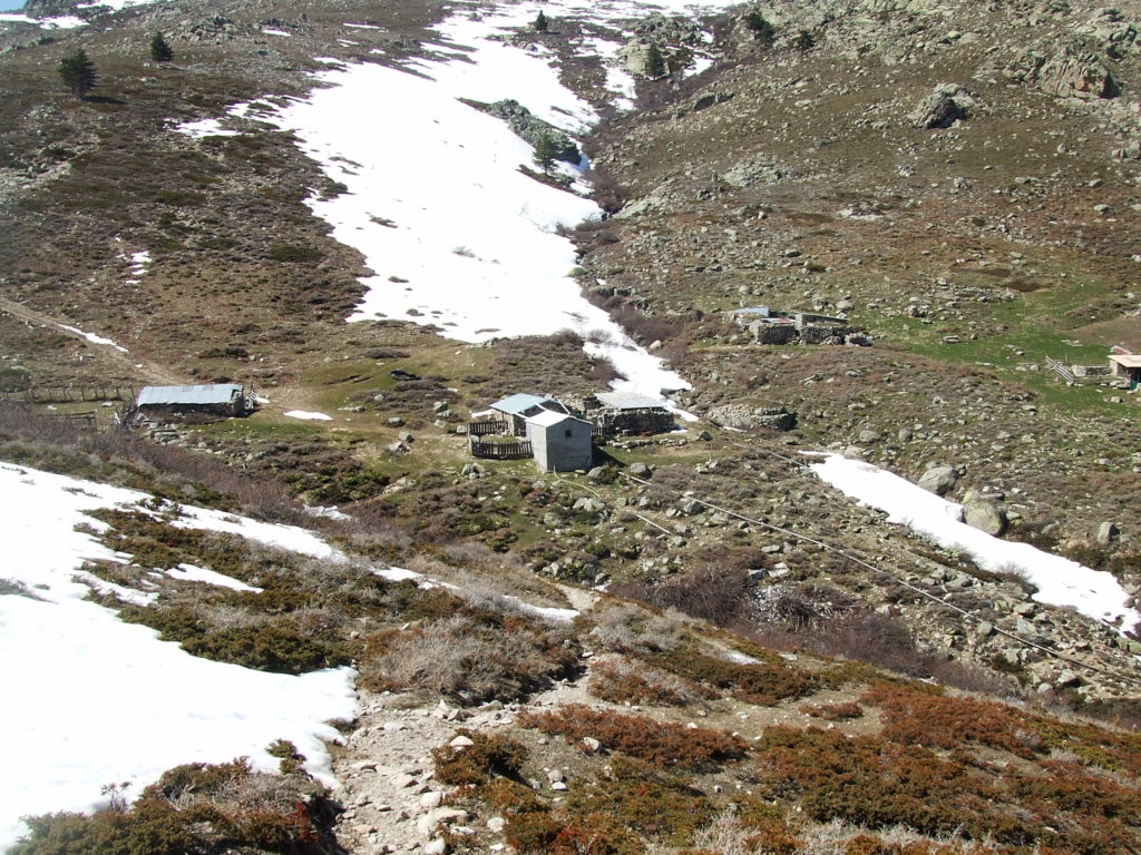
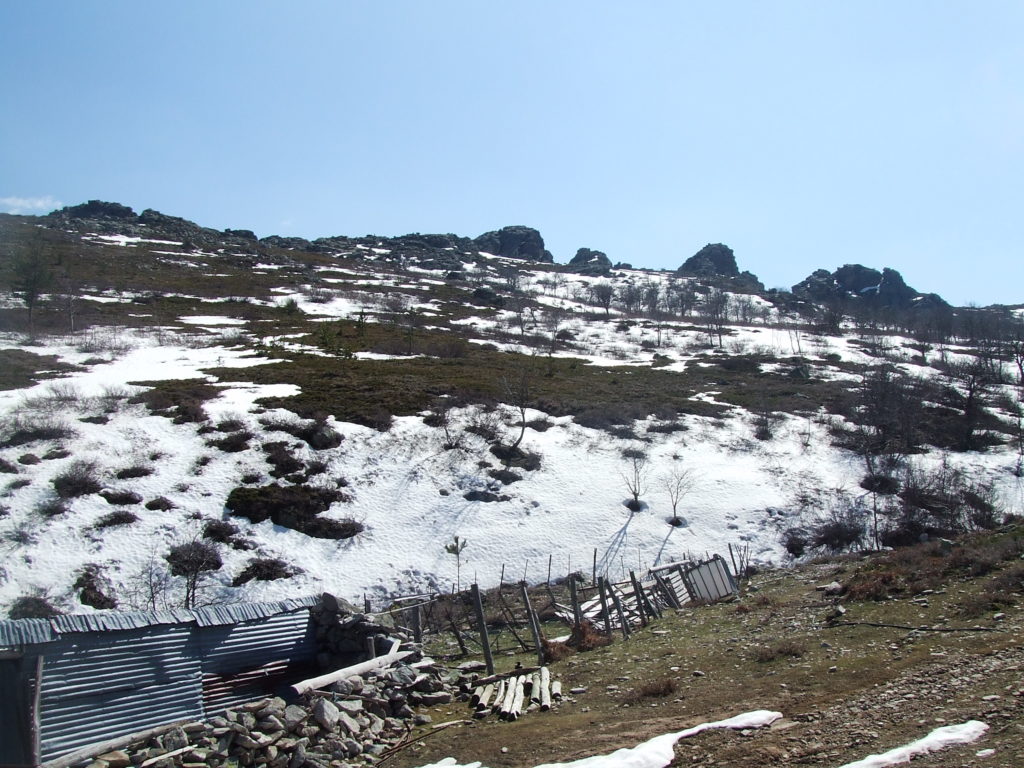
At the bergeries I decided to take advantage of the meltwater stream and try out my homemade chlorine-free water purification kit. To recap, this consisted of a large (50 ml) plastic syringe and a micropore filter which I’d borrowed from the lab. The filter is so fine (~0.5 um) that it should remove any pathogenic bacteria from water forced through it: we routinely use this setup to sterilize solutions in the lab so I figured it should be more than good enough to produce drinkable water.
It worked pretty well, although forcing stream water through the filter turned out to be a little harder than I’d anticipated, probably because even very clean water seemed to contain a remarkable amount of silt. If I held the syringe between my knees and pushed hard it was fine, although I fancy I looked rather silly. I did purify about 300 ml (rather needlessly as I’d brought plenty along anyway), and I experimentally drank about half of it with no ill effects. The taste was great, so definitely preferable to chlorine/iodine there…
It was also at the bergeries when I met a second couple of fellow walkers (fortunately after I put away my somewhat suspicious looking kit). I hailed them from a distance while I was puzzling over the signpost, and trying to work out where Bocca d’Ominanda – which apparently lay down the path to the North – was.
They turned out to be a friendly French couple, and rather hardcore hikers. They asked me where I’d been, and I told them my route and how long it had taken me – and they wondered whether I had got lost! They couldn’t help me on d’Ominanda but did recommend heading North anyway to head back to Corte via the Foret de Forca – it only took them two hours, and that was heading uphill. I had initially planned to turn back – but now I was at the bergeries I was keen not to retrace my steps, and since the route was clearly passable (“you can follow our footsteps in the snow” they told me) it seemed like a good plan. It was before 3pm so I had plenty of time should the route become impassible to simply turn back. In hindsight I probably should have kept in mind how quickly they could walk to the Arch, and readjusted my expectations appropriately…
We said our goodbyes and I set off on the route to the North. The route is reasonably gentle, rising up away from the bergeries on the opposite slope and contouring around to the North East, and is marked with orange flashes. The path quickly became covered in snow, at times deep enough for me to sink up to my knees, but was easy to see snaking around the hillside – which itself becomes steeper and steeper, eventually becoming rather ravine-like. The whole hillside was covered in a thin blanket of snow, and I was careful to stick to the path – if I had slipped I would have kept going for a long time!
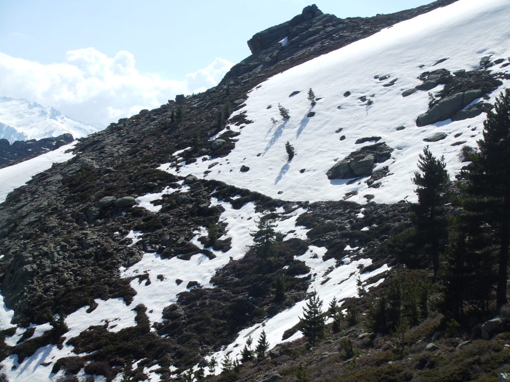
Aside from this, the going was reasonable easy, and I was still enjoying the novelty of walking on snow. Several small streams crossed the path, often under the snow, and I had to take care crossing them to avoid putting my foot through a layer of snow and into the water. On the map I could see that the path continued for about 1.5km and then makes a sharp right turn to cut down the hillside and enter the forest. I didn’t want to miss this, but the steep snowy gradient to my right didn’t look like it could possibly admit a path. I reached a small outcrop with a pile of stones, then had to cross another stream – a more difficult one this time, involving scrambling with hands and feet -and pressed on. It was only after another five minutes that I realized I had made the cardinal Corsican error (again): I realized I had not seen one orange flash.
I kidded myself, telling myself that this was clearly the path, and that orangeish patches of lichen were faded paint (in some places they can look quite similar). This worked for about three minutes, until the “obvious” path I was on petered out and I was left scrambling over dry rocks. I backtracked to the outcrop (back over the stream), and hunted around everywhere – wading through spiky maquis and scrutinising rocks for orange marks – but could find nothing. Swearing now rather loudly to myself, I tried going on to the North East again, going over the stream for a third time and picking a not very likely looking path in desperation.
I got a bit further this time, but the path did again stop – and this time at a small stone bergerie, all alone on the hillside. Really I should have been aware that one was near, as I had all but followed its tell-tale hose pipe from the stream near the outcrop. Again, the map saved me: there was indeed a bergerie, about 1/3km North of where the path was supposed to bend. Feeling somewhat relieved about being able to pinpoint my position with a bit more precision, I headed back to the outcrop (and yes, again pulled myself over the river).
But it didn’t solve the problem of where the path actually went. I knew it should be heading back down the slope before me – but this section of it looked steep, smooth and frankly perilous and I couldn’t see any obvious path. I could locate a certain orange flash before the outcrop, but that was about it. I swore some more and began to worry, as with all my messing around it was approaching 4pm, and I wanted at least 3 hours to retrace my steps if I absolutely had to. I cast around again, now somewhat hopelessly. I managed to sit on some maquis, which I do not recommend and did not improve my mood.
I managed to sit on some maquis, which I do not recommend and did not improve my mood.
I was just about to head back when I saw them – a couple of pairs of footprints contouring back down the slope from a small path just below the outcrop. I could see no flashes to guarantee this was the way, and the route looked frankly perilous: the slope must have been around a 30 degree angle, was smoothly covered in snow, and had precious few hand holds or anything else to grab on to if I did slip. The drop was considerable, although smooth, and it’s possible that someone could slip all the way to the bottom largely unharmed – but I wouldn’t have wanted to try it. Unfortunately I don’t have a picture of it, as I was mostly preoccupied with deciding whether I should chance it or not. If you imagine the smooth parts of the slope in the picture above then that’s about right.
Fortunately I remembered my axiom: trust the map! I took a deep breath and very gingerly made my way onto the slope, stepping in the (often frozen) footsteps ahead of me and leaning the centre of gravity of my body and my pack into the slope, so if I did slip I wouldn’t fall out into empty space. Often the snow would become quite deep, I would sink a little way and the snow I’d disturbed would tumble down the slope below me in miniature avalanches – vertiginously, I tried not to watch them too closely. Whenever I passed a little tree I’d grab onto it for dear life. Going by my later experiences I can be fairly sure that if I did slip my body and my pack would have sufficient purchase to stop me within a metre or two – but at the time needless to say I found it rather adrenaline inducing.
This continued for about 300m, and it seemed to take an age. Eventually I sighted “dry land” and stumbled onto the solid path with some gratitude. Almost immediately I saw what I’d been missing for over an hour: an orange flash! My mood improved immediately – and the path quickly descended below the treeline and into the forest. I knew my snow problems were over, and made a good pace as the path meaders down through the trees. I can sometimes find forest walks a little dull, because the tree cover limits what you can see, but this is a great descent, with nice views of the valley below.
As the sky began to get dusky I emerged from the bottom of the forest, and walked into a flat, smooth region North of Corte. It had been a long day and I was relieved I was getting back into town in a reasonable time: in general it was getting dusky around 7pm, and was properly dark by 8. It would be highly inadvisable (nuts) to attempt to walk any of these trails in the dark, so I figured if I did get stuck, I would just have to stop, climb into my survival bag and wait it out: a prospect I didn’t particularly relish when I only had a load of chocolate as emergency food. As you head back south to Corte, the path widens into a track. I passed several farms, and in one saw a barn full of goats being milked, presumably as a source of the ubiquitous goats cheese I sampled thoroughly. The track itself eventually pops out onto a road, and this road takes you right into the centre of Corte (passed the almost comically fortified hotel de Ville).
I stumbled into the Hotel de la Paix, and had a slightly farcical conversation with the guy on reception as I attempted to book a taxi for the run up the Restonica valley (in my exhausted state I managed to forget the French word for tomorrow with that for yesterday which caused all sorts of confusion). After some odd looks (“Is it possible to book a taxi for yesterday?”) we got things straightened out and I got a taxi booked with Francois (I think) for 7am the next day.
I quickly changed and went out to get some much needed food. I thought I’d try out the pizza place on the main square: it has a covered seating area crowded with locals, and was pretty pleasant. The pizzas are good and cheap but the chestnut beer is a bit expensive (well, around €4 a go), and for a quick bite it’s fine. I ate here in an exhausted state for two nights, and rather comically every time I ordered they would explain to me at great length that there would be a delay in cooking the food, which was quite confusing with my patchy French. In the event the delay was only about 15 minutes anyway, so I don’t know why they went to such bother.
