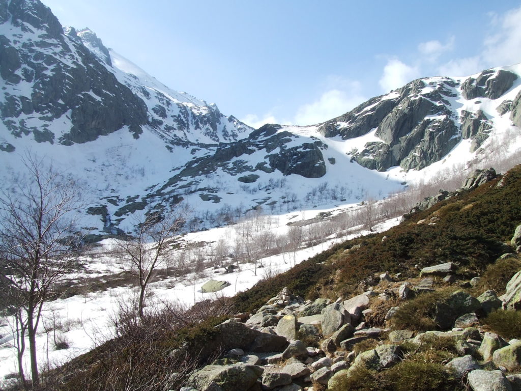
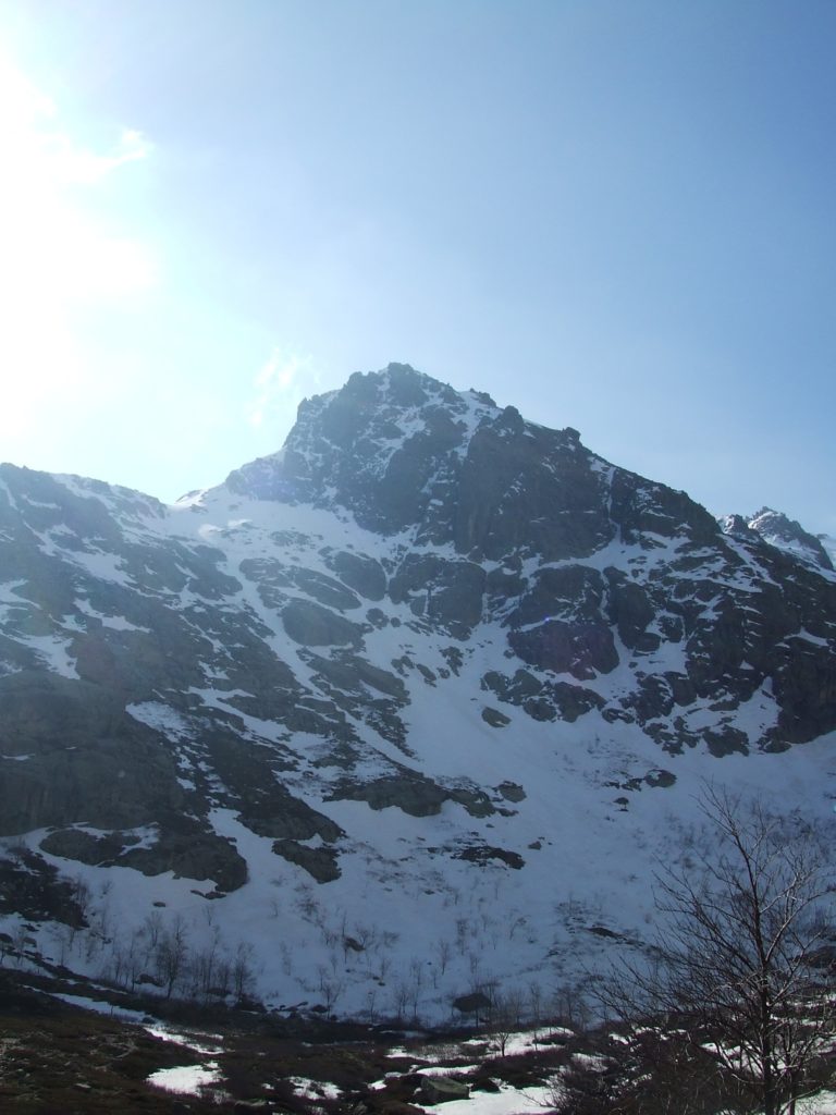
Continuing a series of blog posts written for the hikingcorte blog way back in 2010. Some of this information may be outdated!
This was the last day I had to explore the environs of Corte before heading on my extended hike to the west coast via the mare e mare Nord – out of several alternatives, I figures I could not visit Corte without also seeing the reputedly spectacular Restonica gorge.
My guide warned me that although breathtaking, during summer the accessibility of the gorge by car means it can get crowded with tourists unwilling to walk – traffic jams even develop, spanning the narrow road which weaves the 15km through the length of the gorge from Corte to the bergeries de Grotelle. But during early spring the trip up the gorge to the high mountain lakes, Melu and Capitellu, promised to be very worthwhile.
I was mesmerised by some photos I had seen of the lakes, seemingly sunk like craters in the high mountains and shrowded in mist. They looked rather mysterious and alluring, and should be very atmospheric if there are few other tourists about.
The gorge runs South East from Corte, starting about 5km outside the town. A very narrow road, lacking crash barriers on either side, slaloms its way through the gorge, following the bends of the Restonica river below. The road crosses and re-crosses the river, smoothly gaining altitude, until reaching the bergeries de Grotelle 15km outside of Corte at a height of 1370m, almost 1000m higher than the bridge at Corte (409 m). The bergeries are quite extensive, and here there’s a large carpark and a charming cafe. From the bergeries a well-marked and well-used path makes the stiff climb up the Lac de Melu; a less travelled way then climb up to a shelf to the west, which conceals the smaller Lac de Capitellu. In the early stages of planning my trip I had the somewhat harebrained scheme of walking from Corte to the bergeries, climbing to the lake, having lunch, and then walking all the way back. One glance at the map told me that this was not a realistic idea – although perhaps possible if you started early enough in the morning and walked along the road, it would be more of a 40km march than a hike and you would have no time to admire the (spectacular) scenery, or indeed have lunch. I quickly determined that the best plan was to make the ascent to the bergeries by taxi; climb up to see the lakes; and then have a long, leisurely ramble downhill back to town.

Booking a taxi with Francois was easy from the Hotel de la Paix (once I got my French vocab straight), and I’m sure the Cafe de France or any of the other bars would call for one if you asked. I was a little nervous about this after my inability to find a single taxi in Oristano, a fairly big city in Sardinia, but things work a little differently in Corsica: because the island gets so many visitors wanting to walk, and many of these need to get to out of the way trailheads, every little village has a professional taxi driver who will be more than willing to drive you anywhere (for a price), even out of season. Rates are rather steep, however – even compared to the UK – so if you’re on a budget it’s best to keep taxi rides for essentials or emergencies.
I woke up before 6am and shuffled out into the town to buy some supplies – I’d survived on biscuits, fruit, nuts and chocolate the day before, and really needed something more substantial. The little bakery about half way along the main street opens very early and has a wonderful selection of baguettes, breads, pizza slices and other baked goodies. I got some delicious slices of pizza and supplemented these with crisps and fruit.
After a quick coffee and croissant in the cafe de France (and a trip back to the hotel room because I’d, um, forgotten my map) it was time to get the taxi. Francois was very friendly, and I chatted with him in French as best I could as we started to weave up through the gorge. Near the town there are numerous restaurants and spas, all of which were closed out of season. I asked Francois whether it was busy in the summer, and he made the internationally recognisable gesture of tell me about it.
The road was very windy, and often crossed rather precipitous crags over bridges with no crash barriers on either side. Animals clopped over the road in front of us, and had to be beeped to get out the way. “Une vache”, Francois observed, and I had to stop myself saying “Fetchez la vache!”, which probably would have led to some confusion.
I told him I was going to Calacuccia on the following day, and with my bad French and because I was carrying my full pack (more “training” for my long hike), he seemed concerned that I was going to strike out for the Nuolo that day, presumably going over the mountains via the lac de Nino. The high peaks on either side of the gorge, including the Rotondo massive to our right, were heavily laden with snow, and it was clear such an adventure would be very dangerous without serious equipment. I assured him I was only going to see the lakes and then walk to the town, and he agreed this was a good plan. I appreciated his concern: I really would have been in danger had I intended to go directly over the mountains.
We arrived at the bergeries, parked up, and he wished me a good walk. The drive took around 25 minutes, and cost me €45, which was a little more than I expected but is roughly going rate. I shouldered my pack and started up the wide, well marked track to the South.
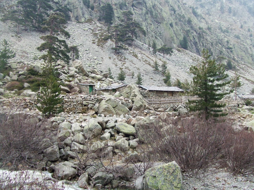
There were a few other walkers on the path – most were French or seemed to be locals, enjoying a Sunday out on the mountains – but it never felt crowded. The path starts gently, passing between large boulders, and soon became snowy – but was never difficult to find.
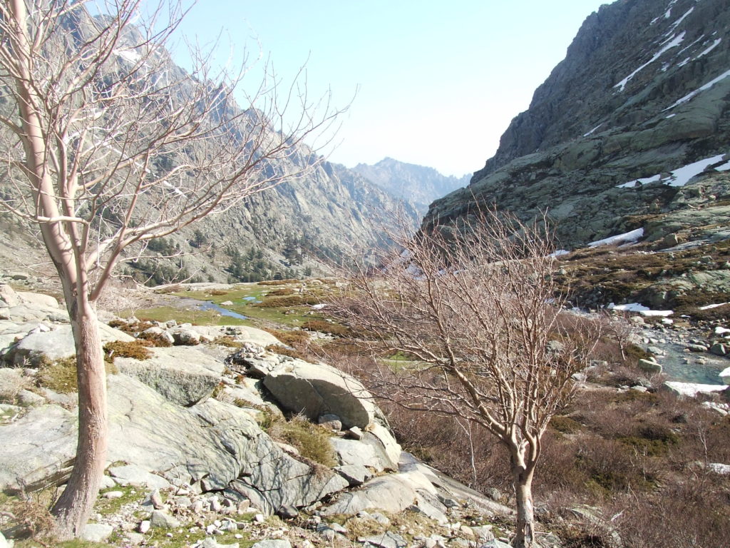
After an easy-going kilometer or so, a sign indicates two routes up to the lake: the left was apparently facile and the right sportif (not, um, difficile). Feeling as I was sportif, and wanting to clamber up the chain-guided rocky climb described in the guide book, I took the right path. This turned out to be fortunate, as the usually gentle slope of the facile trail was covered in a thick, treacherous blanket of snow, in fact making it a considerably more difficult ascent than the craggy sportif route.
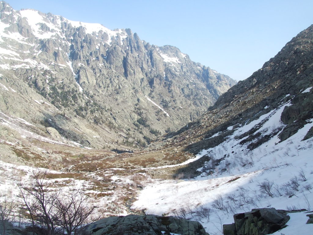
After crossing a rather deep snowfield, where my legs frequently sank up to the knee, the sportif path hits a rather steep rock wall which rises up next to the torrent crashing down from the lake. The first section involves clambering over large granite boulders, and was made all the more perilous by patches of snow clinging to the rock. With the weight of my pack pulling me off balance, the going was difficult. I ascended very slowly, pulling myself with my hands onto the next boulder, and making sure all my hand and footholds were secure – if you fell here you could really do yourself an injury. I couldn’t resist working my way to the edge of the rocks to get a better look at the waterfall, under a covering of snow for most of its length…
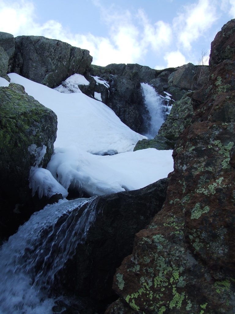
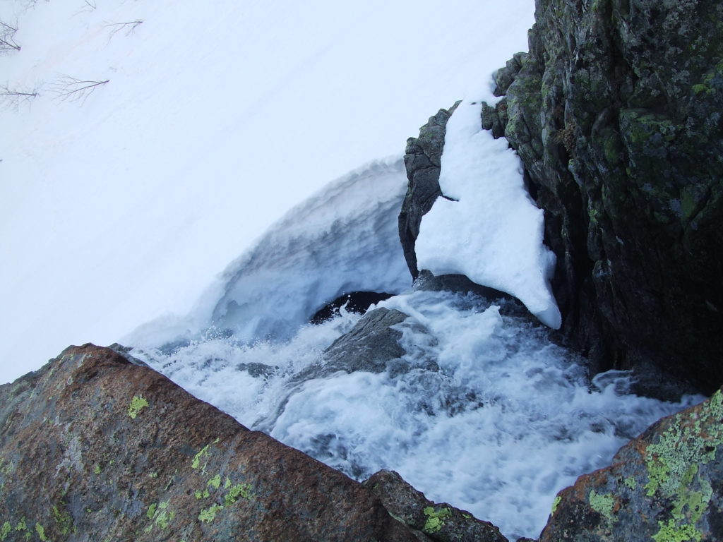
After about 15 minutes of clambering I reached the metal staircase which takes you over the steepest part of the rocks. I passed some fellow walkers resting at the base, remarked that the route was “pas facile“, and started to pull myself up. Although this felt much more secure, the metal was freezing cold, and I had to grip it constantly and hard due to the angle of the stairs. As I was warned in the guidebook, the climb is really vertigo-inducing too – one of the children of the walkers waiting below had already scaled the stairs, and was running about on the rocks above like a mountain goat – just looking at him made me feel dizzy. I tried not to look down and cleared the stairs as quickly as I could. Unfortunately I was so preoccupied with not getting myself killed I didn’t any photos of the stairway – there are some here, but the whole area looks very different without snow.
Once you clear the stairs, there’s another patch of deep and level snow – I rounded the top of a small mound and saw – an eerily flat crator…
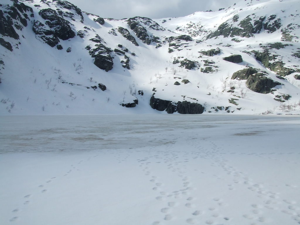
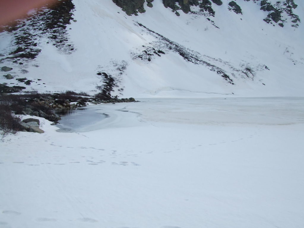
I don’t know why it didn’t occur to me that the Lac de Melu would be frozen. Although I’d been exposed to snow crossing Padule the previous day, the weather had been so sunny (and rather hot in L’ile Rousse) it just never crossed my mind the an entire 400m wide lake could still be frozen over. The temperature at this altitude (1711m) was pretty nippy, though, even though the sun on the bright snow nearly blinded me.
The lakes sit in a huge bowl in the mountains, surrounded on three sides by (what looked under the snowy conditions) to be impassable, almost vertical walls. In the left photo above looks south to the Bocca a Soglia (2200m): the GR20 insanely passes over the “pass” you can just about make out. There were only a few footprints around the lake and the small ranger’s hut, and this surprised me, as there were a good dozen groups out on the mountain on that day alone. I figured that snow must still occur frequently enough this high up to obliterate them, and resolved to get off the mountain as quick as I could if I felt the weather beginning to turn.
While I would have liked to have seen the lake in its misty, mysterious glory, visiting it in this strange frozen state was almost as good. Most of the people hiking on the mountain that day seemed to be locals, so I suspect few foreigners ever bother to come up to the lakes so early in the year – although it’s safe and beautiful. As I was wondering around the perimeter, wading through deep snow and admiring the lake, a walker behind me caught me up. Without any hesitation he walked a good few dozen metres out towards the middle. Not wanting to end up frozen like a fishfinger I didn’t follow his example and kept to the edge.
Since the day was still very early, I decided to strike out for the higher Lac de Capitellu. Amongst the indistinguishable snowy slopes to the West I couldn’t see anywhere where another lake could be – moreover, the snow was so deep that most of the orange markers for the path were submerged. The best I could make out was a snow-free line of scrubby maquis which looked like a good candidate for the trail, and footprints rising from there up the smooth snowy slope to the West. With some difficulty I managed to reach the island in the snow – I repeatedly sank so deep in the drifts that had piled up against the North wall of the lake that I had to turn back and find another route. In this slow manner I made may way around the North side of the lake and past the hut, and followed the snow free strip, where I could make out some markers.
At the end of the strip, footprints led straight up the sheer slope, which rose around 100m above me to what looked like a shelf. The gradient was steep and featureless, but at the bottom was a clear expanse of snow – if I slipped, even with my attempt to slow myself down, I would in probability just slide gently to the bottom unharmed. If the lake was on top of that shelf, then the climb would definitely we worth it. I steeled myself, and keeping myself bent low to make sure the centre of gravity of my pack would not pull me backwards and out into space, made my way gingerly up the slope, stepping in the footprints left before me. The going was very slow. Sometimes the snow would be too soft, and would give way under my weight in miniature avalanches – when this happened I would instinctively press myself forward and sink my fingers into the snow, and would stop sliding almost immediately. Equally often the snow would be hardened and slippery, and I would have to chisel out new footholds by kicking at the slope. The going was slow, and my fingers got very cold and my feet a bit wet, but apart from that progress was steady and I felt safe. If I really got stuck I planned to simply point myself down the slope and slide to safety.
After about 20 minutes of this, very frequent stops to rest, I reached the edge of the shelf and gratefully pulled myself onto flattish ground. I had been a bit optimistic – I hadn’t gained enough height to get to Capitellu yet, and the footprints curved around to climb another shelf to the South. The views back down to the frozen Melu were spectacular, however, and these restored my resolve.
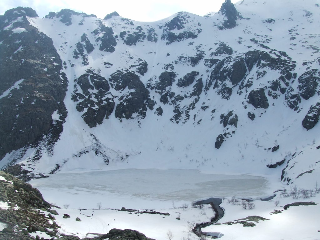
The next ascent was bigger, but really more of the same. I even started to get pretty hot with all the climbing, despite the strong wind which was blowing. The slope was higher and even more featureless than the last, and I tried not to look down as I knew it would be a very long slide indeed to the bottom. I spent about half an hour toiling up the slope, moving progressively faster as it became less steep and perilous. After what seemed like an age and several false horizons I popped out onto a rocky escarpment, and finally turned back to check my progress…
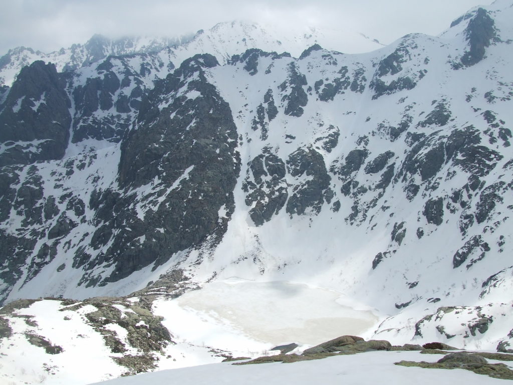
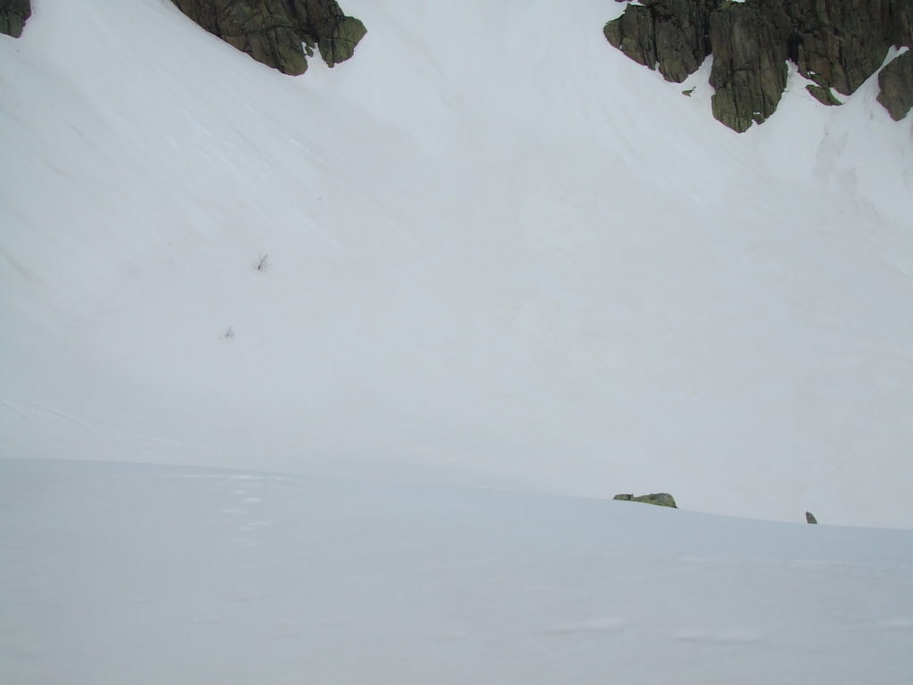
I’d ascended roughly 280m from Melu to a height of 1990m, and this added elevation made the views back over Monte Rotondo and the Restonica all the more spectacular. The ranger’s hut and even the lake below looked tiny, and the slope I’d just scrambled up rather daunting – and I wondered exactly how I was going to get down. On the other side of the escarpment was lac de Capitellu itself, smaller than Melu and more thoroughly frozen (and with a thick layer of snow on top).
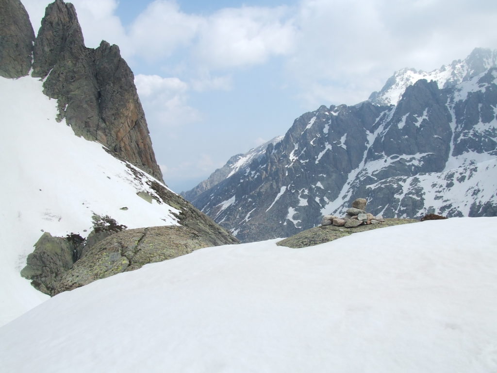
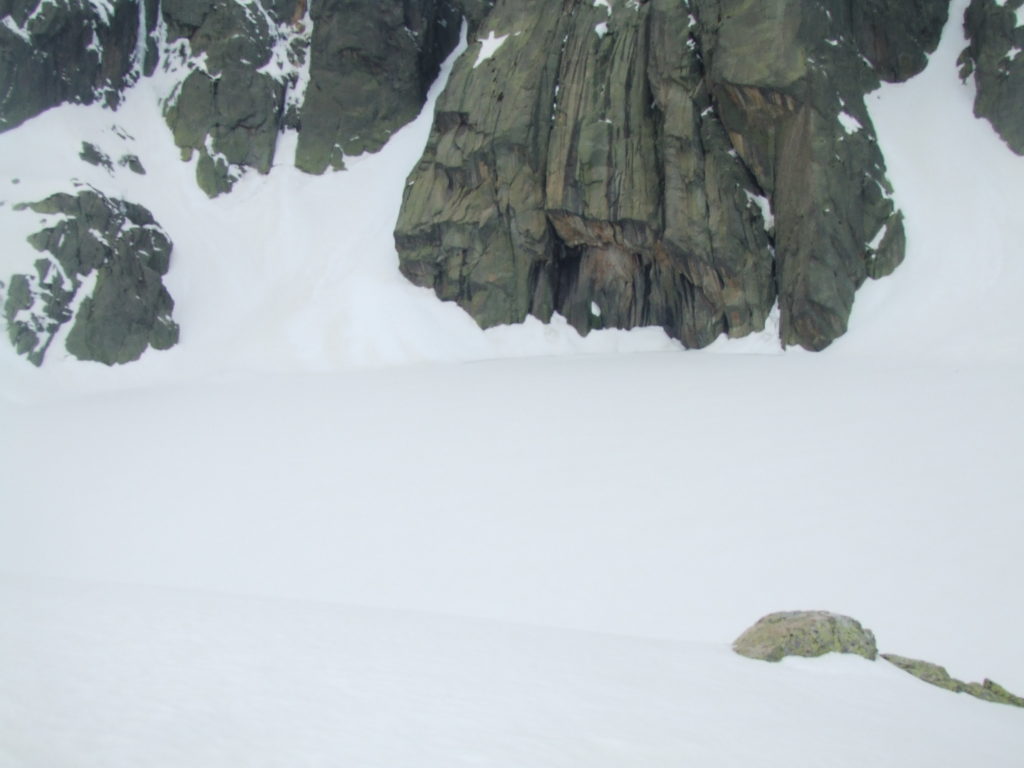
I sat myself down by some rocks, wrapped myself up, and had lunch while enjoying the view…
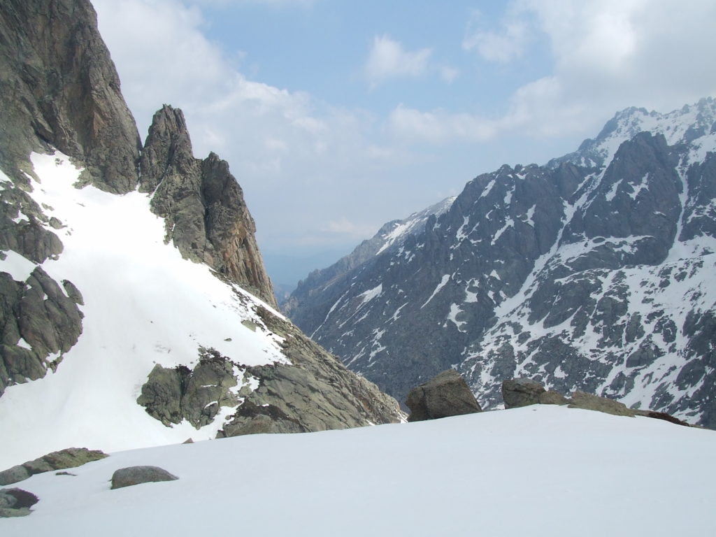
As I sat and ate, I rather nervously watched the sky, as the fast winds blowing from the West seemed to be bringing ominously dark looking clouds towards me. I suspected these might drop snow as they passed over the mountains, and resolved to eat up as fast as I could. I was distracted by the unexpected arrival of a couple apparently completely without equipment: they didn’t have any packs or warm clothes – the guy was just wearing a “free Tibet” T-shirt – but had scaled the same slope I had so fast I didn’t even see them behind me. I greeted them, and they looked a bit surprised to see me up there too.
I quickly finished lunch and packed up. There was one very fast way to get drop the 300m back to Lac de Melu, and the closing weather seemed to recommend it: I would slide on my bottom. I sat down on the edge of the shelf, made sure there was no way I could be directed over a precipice if I went too fast and lost control – fortunately the whole slope led down to the horizontal shelf below – gave myself a little push, and was off!
I picked up speed, and flew some distance down the slope. I moved surprisingly slowly: by boots and my pack gave me a lot of purchase and slowed me down considerably. After a couple of goes of this, I decided it was probably safe to try to sledge properly. A plastic survival pack makes a pretty good sledge: its contact with snow is almost disconcertingly frictionless, and the smoothness of the run made some survival bad sledging ideal. I got mine out, folded it underneath me, stuck my legs off of the end to act as brakes/rudders and gave myself a little push.
Much faster this time! I stuck my boots deep into the oncoming snow to regulate my speed, and clung onto the survival bad with my fingers. Snow arced up in front of me as I ploughed it up with my feet. I was only partly in control of how fast I went, but on the other hand steering was surprisingly easy, and I could even slalom down the slope with fairly good control. Eventually I went a bit too fast, went flying over a bump, and my surivival bag flew out from underneath me. I stopped in a pile, retrieved the bag, and in another run I was at the bottom of the slope. I must have descended the 150m from the lake in under a minute!
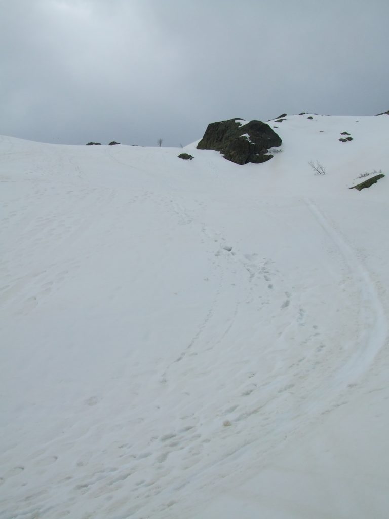
I repeated this trick on the first slope, and despite a somewhat bumpier run, before I knew it was back at the lake. The sky looked really grim now, and I was pleased to be back around other walkers – several had gathered on the verandah of the ranger’s hut to have a picnic.
I made my way back around the perimeter of the lake, and again was faced with a dilemma. While the sportif ascent had been strenuous but safe, descending by that route – with slippery rocks and a heavy bag – did not seem too appealing. The alternative was the facile route, which I could now see from the line of rocks that formed the North edge of the lake. This made its way down the smooth, snowy slope to the East of the sportif route – some walkers were already descending, and even with alpenstocks were frequently slipping.
I had a few reservations about simply sledging down this route. First, there were a good few more trees and other obstacles, as well as the river running in a crevasse to the left of the field. Secondly, I really didn’t want to accidentally barrel at high speed into the carefully walking family. I don’t think a few Je suis desolees would have made up for that.
Seeing the slipperiness of the slope, however, walking it was pretty much out the question. Instead I took up my temporary sledge, and very carefully tobogganed for a few metres. Finding my speed to be more controllable due to the less steep gradient, I cleared the slope in this manner – sliding for a few metres, repositioning my survival bag, and then sliding some more. After I was near the bottom, I picked myself up, and walked the rest of the way, using the little silver birches that covered the slope for support. I was tempted to have one last slide, but couldn’t see where the slope led: it was fortunate I didn’t try, as it lead into precisely the icy crevasse into which the stream disappeared that I had photographed earlier. I passed and greeted the well equipped family, and they didn’t look at all surprised at my unorthodox method of descent (though I bet they told their children later not to try anything like that themselves).
I made my way back to the main patch, and hurried over the easy section to reach the bergeries. Just before I arrived I was surprised to be passed by the same couple I had seen up on the “summit” – running between the rocks. To descend that fast they must have slid as well, and I felt pleased my sledging idea wasn’t completely unheard of. I reached the bergeries car park happy but extremely wet, and now rather cold, and elected to get a hot drink at the little wooden cafe just before the path.
The cafe at the bergeries de Grotelle is really charming. It’s a little wooded construction, with an iron coal fire in the middle of the floor radiating heat. Sausages hang from the beams of the roof, and the walls are covered in maps, postcards, and hiking related paraphernalia. A large dog dozen by the fire. The proprietor spotted me and greeted me immediately with great friendliness: he made me a fantastic hot chocolate, pouring hot milk onto a cup full of chocolate buttons. All the other clientele seemed to be locals enjoying their Sunday up the mountain. I squeezed myself into a corner and dozed myself, probably steaming slightly. The place was so perfect I really didn’t want to leave, but I knew I had to set off in order to get back to Corte at a reasonable time. I bought a postcard of the Arch, and made my way out into the now overcast day.
The next stage of the trip was the supposedly easy path which shadows the road all the way down the valley to Corte. The walk started well – it is easy going and well marked, and after passing through the bergeries quickly crosses the river at the road bridge and heads through pine forest on the other side. I was well below the snowline and the only snow I saw from here on flowing in miniature glaciers down the sides of the gorge. It soon started to drizzle. This was fine for a while, and I was just pleased to be off the mountain and that my prediction was correct, but soon got heavier and heavier. I found it impossible to keep my feet dry, as I was compelled to walk through wet undergrowth that would soak my socks within minutes of them being changed. I powered on, following the path as it climbed above the river: after some snaking backwards and forwards a path branches off to cross the Plateau d’Alzo, via which you can eventually reach the refuge de la Sega. By the map and the scale of the gorge, I’d guess this would make a very challenging way to reach Sega.
After this the path drops back down to the road, which it follows for a while. The misty drizzle had lifted a bit and I could take some pictures.
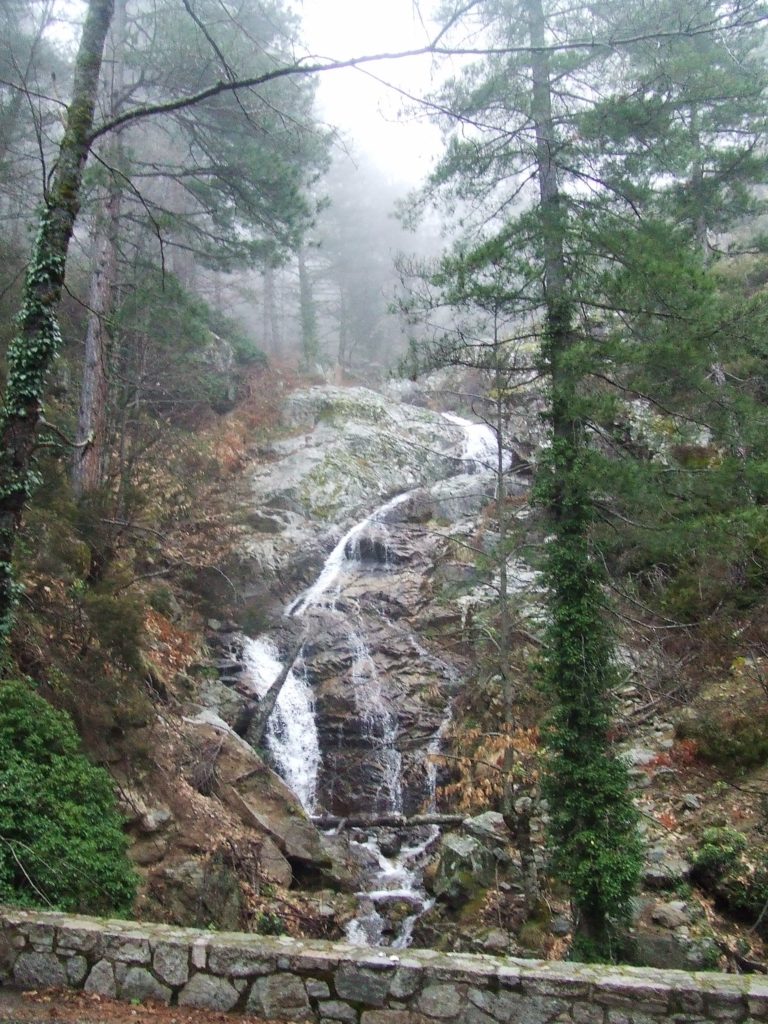
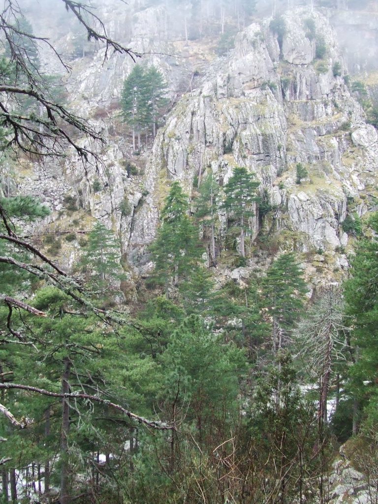
After some slightly silly trail difficulties caused by misinterpreting loggers marks on the pine trees for the trail, I found the the path leaves the road by crossing over a little bridge over the Restonica. The path then climbs back up the slope, and makes its way fairly directly through the woods to camping Tuani, giving you some of the nicest views down the gorge.
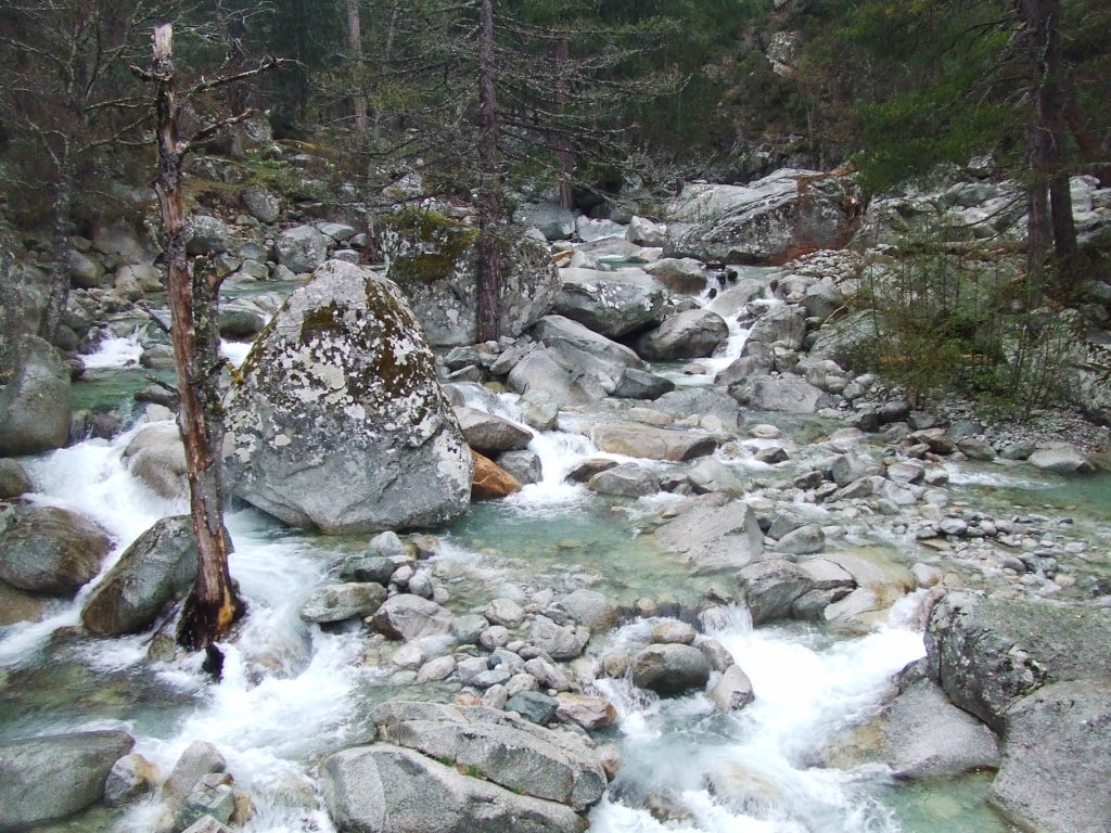
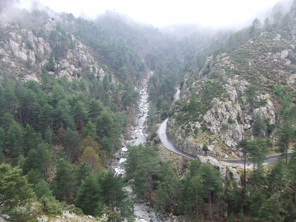
This is a strange campsite which straddles the path for about half a kilometre. Even during April there were a few people camped up. The whole place is riddled with signs explaining what to do if (a) the campsite becomes part of a forest fire (b) the campsite “catastrophically” floods, which didn’t do much to advertise it. It even has a little, shop/restaurant attached, but all were closed when I went through. Camping Tuani is accessed by car by its own little bridge, and in hindsight I really should have left the path and walked the (short!) distance back to Corte on the road, as I was now very wet and rather miserable.
Instead I pressed on up the path. Unless you have time on your hands, and don’t mind a fairly tortuous ramble, I’d probably advise people to avoid this part of the path. Firstly, it doesn’t seem to be walked much, and this means that large parts of the path are covered in maquis or equally spikey undergrowth. This can cause trail problems, and also led to me being continually splattered by cold water as I pushed my way through them, something that quickly lost its novelty. Secondly, despite the fact that the distance by road between Tuani and where the path rejoins the road is only around 3km, the path is extremely contorted and the going is very slow. None of this is obvious my map, but it’s best avoided in my opinion. I spent the best part of an hour and half on that section of path, and was feeling somewhat miserable when I popped back out onto the Corte road only a few kilometres from where I started.
I pressed on with my mp3 playing to keep my spirits up. It was still raining, and by the time I squelched into Corte in the fading light, I was saturated and not too happy. I never felt exposed or even particularly cold once I got off the mountains, so I don’t think it was particularly dangerous, but I did sneeze continually for the rest of the evening. Once I’d got back to the de la Paix and had a warm shower I was generally feeling more positive about the situation: visiting the frozen lakes was hugely worthwhile; and set off to have a quick bite at the same pizza place. Again, the food was good, and again the service was a little confusing, and I treated myself to a few chesnut beers while planning my more audacious hike to the Nuolu.
That afternoon was my one seriously wet day in the holiday. I was rather nervous before I went, as the (usually conflicting) weather reports all predicted rather more rain than this. The estimate of one wet day in three for April is probably totally accurate. When it does rain, off the mountains it tends to be a light, rather English, drizzle (thunderstorms are common in Summer but less so in Spring) – and this shouldn’t prevent you walking as long as you have some sort of waterproof – I had a poncho thing that packed away really small, and this did the job admirably. I didn’t take any waterproof trousers as I figured that my legs weren’t the main thing I had to worry about – but these might be a good idea, as I got pretty sick of having my legs drenched with cold water every time I had to wade through some wet undergrowth. At no point did I feel I had to stop walking because of rain – the only time I would advise taking cover is if you are above the tree/snowline, where rain might turn to snow and you risk a white-out. And even though the rain did make the walk back to Corte a little uninspiring, I still got a whole half day of brilliant sunshine and sledging!
